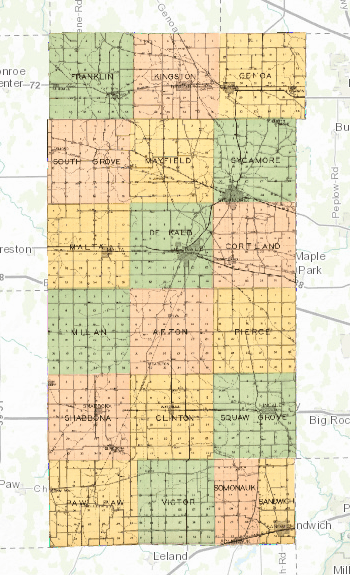
About one year ago, I shared a map that I had put together using a 1929 plat map. This summer, I’ve done it again! (Click here to see the whole interactive map!) This is a map from DeKalb County, Illinois in 1905. Like the previous map, I overlaid scanned, historical maps from a 1905 plat atlas onto a modern map. It’s amazing what you can discover if you look closely at these maps! Continue reading “Mapping DeKalb County in 1905”