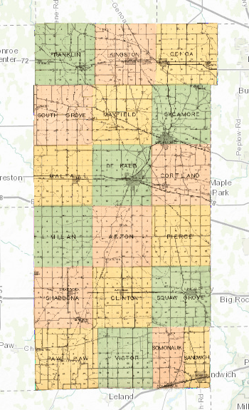
At the recent ALA library conference, I learned the basics of GIS from a Map and Geospatial information Librarian from the University of Minnesota. I was so excited to try it out for myself, using some historic maps related to my family’s history! I tested it out by making this composite map of DeKalb County. All of the maps that I used to create this map were from the 1929 Atlas and plat book of De Kalb County, Illinois : compiled from surveys and the public records of De Kalb County, Illinois, digitized by the Library of Congress. (See the whole atlas here!) Continue reading “Snapshot of 1929 DeKalb County”


